Flood zones & insurance in St. Pete
Zone by zone, carrier by carrier — what coverage really costs after the 2024 storms, and how to read a flood map before you offer. The guide this chapter leans on.
Read onThe neighborhoods · Chapter 05
More waterfront per dollar than anywhere in the city proper — and the one neighborhood where the elevation certificate decides the deal.
live data connecting
This band shows real market numbers — median sale price, days on market, active inventory — computed over Everlane’s own copy of the Stellar MLS data, with the computation time shown. Live numbers publish here as soon as the data feed is connected; until then we show you nothing rather than a made-up number.
Based on information from Stellar MLS® for the period shown with each statistic — median sale price and days on market: trailing 90 days; active listings: as of the computation time shown; price per square foot: trailing 12 months.
Built by Selenko, Everlane’s own studio automation — see how this site runs →
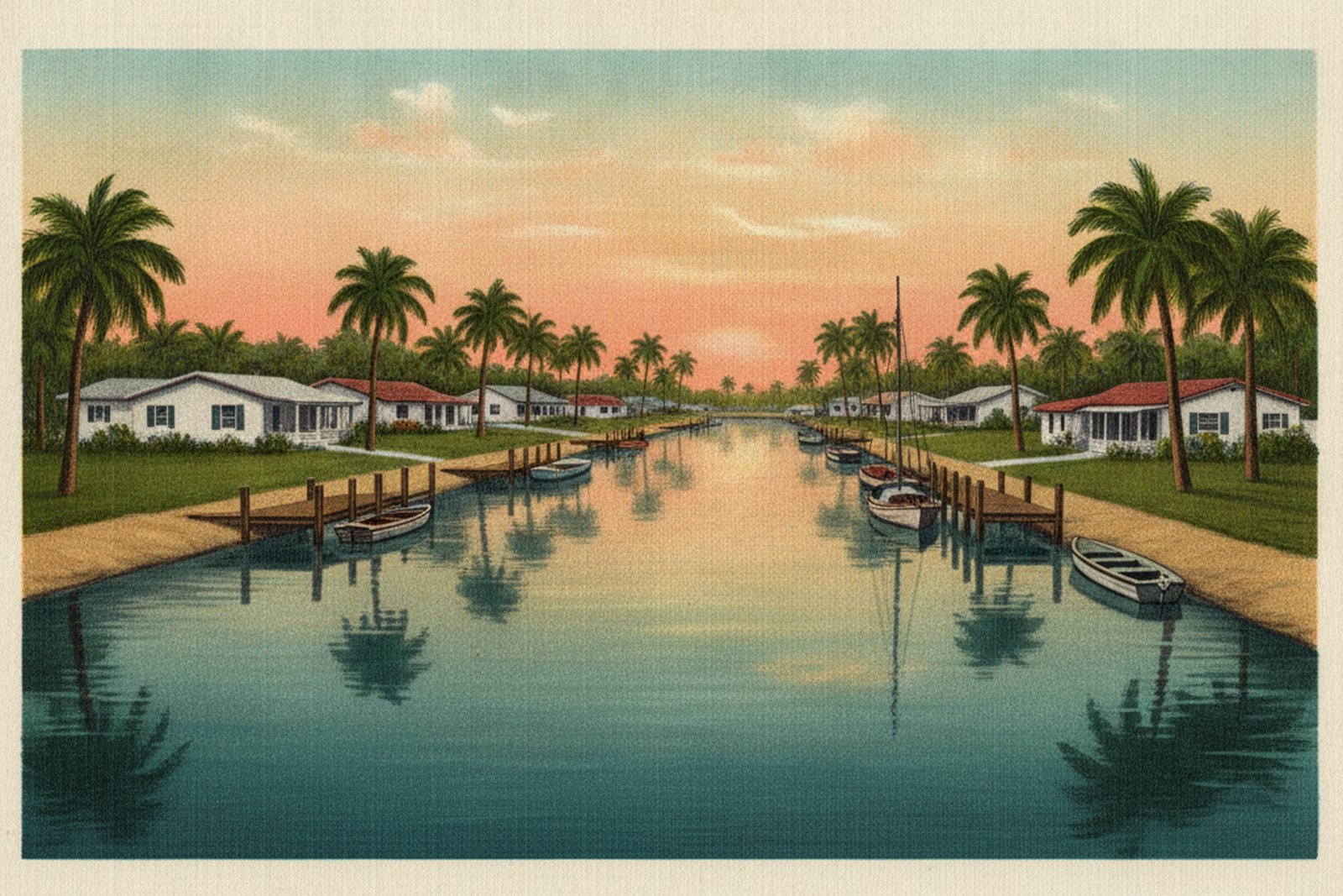
Shore Acres is the waterfront-value answer in St. Petersburg: a post-war neighborhood of largely 1950s–1960s homes laid out on the northeast side of the city, threaded with finger canals off Tampa Bay, most with a seawall and a good number with a dock and near-direct water access. Block for block, my read as a broker — not a statistic — is that it offers more waterfront per dollar than anywhere in the city proper. That’s the honest reason people fall for it, and the honest reason this chapter is the most careful one I write. Shore Acres is also the city’s most flood-sensitive neighborhood, and I’d rather you hear that from me on page one than discover it after an offer.
Here is the part the listing photos won’t tell you: in Shore Acres, the elevation certificate decides the deal. Two houses on the same canal — same view, same water — can be completely different transactions depending on whether the finished floor has been raised to current code and whether the property carries an open substantial-damage question. Being ready to read that, per-address, matters more here than anywhere else in the city.
Water is the whole point. The canals are the front yard and the back yard both; a morning here is a seawall, a dock, and a short run out to open bay. The grid is quiet and low-slung — mid-century block and ranch homes rather than the pre-war charm of the historic districts — with the Shore Acres Recreation Center and its parks anchoring the interior. The neighborhood sits a short drive from downtown across the northeast approaches, with Snell Isle and Old Northeast just to the southwest across the water.
The trade for all that waterfront is elevation — literally. Shore Acres sits low; as FOX 13 put it after Helene, the neighborhood is “built like a bowl” — the middle dips, so interior blocks tend to take water before the streets along the edges do (FOX 13, Sept 27 2024). That is not a reason to look away from the place. It is the reason the next section exists.
Straight answer: bad enough that you read every address on the map, and honest enough that the map will actually tell you. Hurricane Helene pushed more than six feet of storm surge into St. Petersburg on the night of Sept 26, 2024 (City of St. Petersburg damage update #14, Sept 27 2024, which also reported 100.6 miles of city road flooded and 70 water rescues by the next morning). Shore Acres was among the hardest-hit neighborhoods in the city — FOX 13 reported homes destroyed, and the Tampa Bay Times documented a family who rode the surge out in their attic as the water rose (both Sept 27 2024). Even in a place where flooding is not new: FOX 13 counted Helene as the neighborhood’s fourth flooding event in four years. Hurricane Milton followed weeks later with as much as 18 inches of rain in parts of the county (WUSF, Oct 11 2024 — MEDIUM; secondary source, re-anchored to the NWS/city record at the quarterly sweep).
So how do you read it before you buy? Two tools, both free, both public. First, the Pinellas County flood map, read per-address — never by neighborhood, because zone and base flood elevation change lot to lot. The currently effective FEMA flood map for Pinellas took effect Aug 24, 2021 (Pinellas County Flood Map Service), with preliminary updates underway that could still move some zones (MEDIUM — adoption timeline not yet published). A Zone AE or VE rating means flood insurance is mandatory on a federally backed mortgage (FEMA flood-zone glossary), and it means the premium turns on elevation.
Which brings you to the second, and the one that actually moves the deal: the elevation certificate. It is the single document that records where a home’s finished floor sits relative to the base flood elevation — and that one number drives both the insurance math and, after a substantial-damage event, whether the house can be repaired as-is at all. Pinellas County publishes existing elevation certificates free through its eGIS viewer, so many Shore Acres addresses already have one on file you can pull before you write an offer, no surveyor required (Pinellas County — Find an Elevation Certificate). Not every address does — and a certificate on file may predate a post-Helene rebuild — which is exactly the point: you confirm the number, you never assume it. Reading that certificate is the first thing I do on any Shore Acres property, and it’s free to have me do it.
This is the question that makes Shore Acres a per-address neighborhood rather than a per-price-band one. St. Petersburg enforces a 49% rule (stricter than FEMA’s 50% baseline): when repairs, reconstruction, or improvements to a home in the Special Flood Hazard Area cumulatively reach 49% of the structure’s pre-damage market value, the whole building has to be brought into current floodplain compliance — which can mean elevating it (City of St. Petersburg — Substantial Damage & Substantial Improvement). A house substantially damaged in Helene, in other words, often cannot simply be patched back to what it was; it either comes up to code or comes down.
On the ground that is exactly what you see. Since Helene, some Shore Acres homes sit empty, some have been demolished, and others are in the process of being raised (Bay News 9, Aug 23 2025). The state’s Elevate Florida program drew 555 applications from Shore Acres alone; the civic association’s president estimated that only 100 to 150 of them would ultimately receive funding (Bay News 9, Aug 23 2025 — MEDIUM, an estimate, not a final program count), with priority to homes carrying three or more flood losses or officially classified as substantially damaged. The result is a street where the house next door may be a fresh, elevated, current-code rebuild with a clean elevation certificate, and the one beside it an original-grade home with an open damage question. Same canal, two very different deals. Read the permit history and the certificate before you fall for the water.
The honest answer renders from data, not from a guide that goes stale: the stat band on this page computes from our MLS pipeline (median sale price, days on market, active inventory) and refreshes continuously — if it shows no numbers yet, the pipeline hasn’t connected, and we’d rather show you nothing than a made-up figure. In Shore Acres that honesty matters double, because the elevated-versus-not split pulls the range unusually wide: a rebuilt, raised home and an original-grade one a few doors down are not really the same market, and no single typed-in number would tell the truth about either. For the deal-level version — what a specific block, house, flood zone, and elevation certificate should actually cost — that’s a conversation, and it’s free.
These bands compute from closed sales in the Stellar MLS feed (trailing 12 months) the moment the data feed connects — honest ranges, never AVM point estimates, never made-up numbers. Until then this box stays empty on purpose: we render real data or nothing.
Shore Acres is the city's most flood-sensitive neighborhood, and — because it has had to be — its most honest one. Hurricane Helene pushed more than six feet of storm surge into St. Petersburg (City of St. Petersburg damage update #14, Sept 27 2024) and hit Shore Acres among the hardest — the neighborhood's fourth flooding event in four years (FOX 13, Sept 27 2024). Risk here is read per-address on the county flood map, and the single document that moves the deal is the elevation certificate: Pinellas County publishes existing ones free, so many addresses can be checked before an offer, no surveyor needed. What has been elevated or rebuilt to current code trades very differently from what has not.
Flood data source: FEMA flood maps via the Pinellas County Flood Map Service (not MLS data) · verified July 8, 2026
Read the flood & insurance guide →Live Shore Acres inventory renders here — straight from our copy of the Stellar MLS feed with full attribution, the moment the data feed connects. Until then: open the live search →
Zone by zone, carrier by carrier — what coverage really costs after the 2024 storms, and how to read a flood map before you offer. The guide this chapter leans on.
Read onWhere Shore Acres sits on the city's larger map — organized by what each place is actually good at, waterfront value and flood story included.
Read onThe historic grid a few minutes west — a different housing stock and a different, mostly-inland flood posture. The counterpoint chapter.
Read onTalk to the broker who wrote the chapter. Fifteen minutes, free, and the messy version of your situation is the right version to bring.
A free 30-minute consult, straight onto Serge’s calendar. Prefer to write first? use the contact page →