Flood zones & insurance in St. Pete
What flood zones actually mean for buying in St. Petersburg — FEMA maps, what insurance really costs after the...
Read the guideThe knowledge base · Neighborhoods
Best at what? The honest neighborhood map — historic districts, waterfront streets, walkable blocks, and the flood story of each — organized by what you're actually optimizing for.
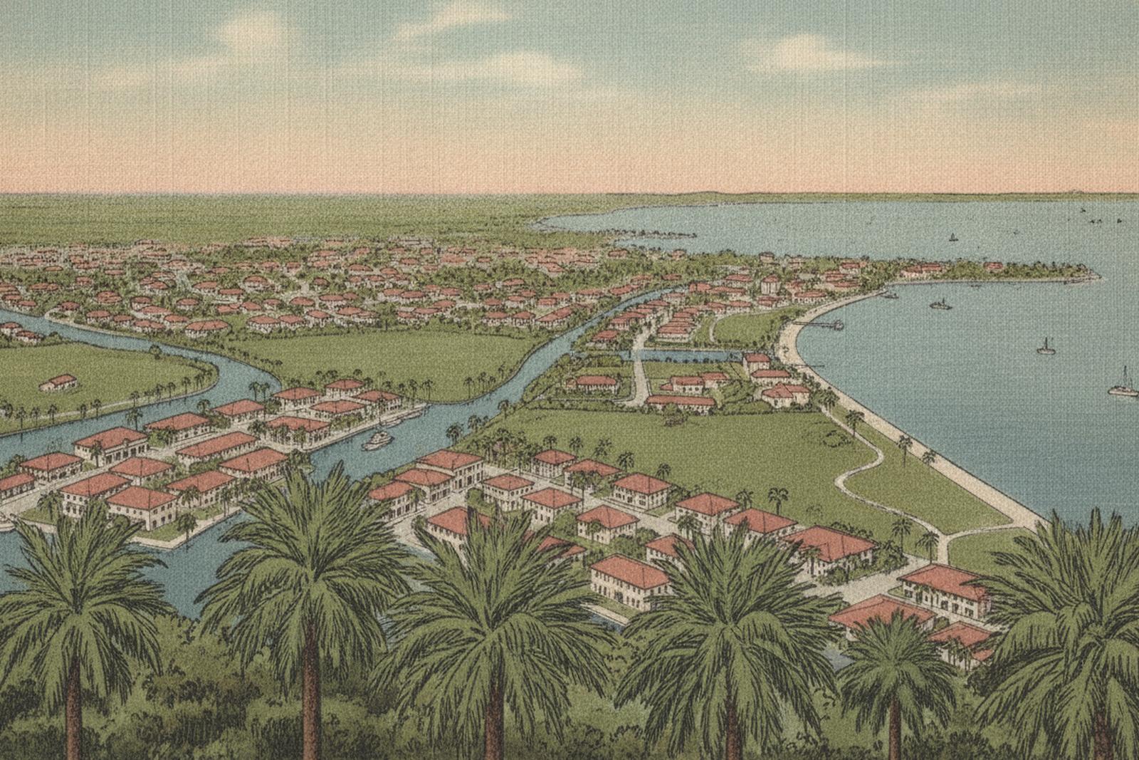
“Best neighborhood” is a dishonest phrase until you finish the sentence: best at what? Every place on this list is the best in the city at something and mediocre at something else, and a guide that pretends otherwise is marketing. So this one is organized by what a place is actually good at — the housing stock, the distances, the water, the flood story. What you do with that is your call, and the fifteen-minute version of that conversation is what I do all day.
Each neighborhood named here gets (or is getting) its own full chapter with live market data from our MLS pipeline — the numbers live there, computed daily, not typed into a guide that would quietly go stale.
Old Northeast is the flagship: a 1910s–1920s grid of craftsman bungalows, Mediterranean revivals, and four-squares between downtown’s edge and Coffee Pot Bayou, listed on the National Register of Historic Places in February 2003 as the North Shore Historic District — 2,975 contributing buildings (NRHP ref. #03000040, accessed July 2026). Brick streets, granite curbs, hex-block sidewalks; the city’s historic-preservation program protects much of that fabric. The trade for the charm: pre-war systems, and inventory that is structurally tight because owners stay.
Historic Kenwood, west of downtown, is the city’s bungalow district — a dense collection of craftsman homes on walkable blocks, itself a National Register historic district since August 2003 with 2,203 contributing buildings (NRHP ref. #03000729, accessed July 2026). It has spent two decades in visible restoration, and its blocks sit inland — a different flood posture than the waterfront districts (always per-address, see below).
Crescent Lake wraps a 1920s grid around its namesake park a mile north of downtown — the historic stock without the National Register formality, and the lake as the front yard.
Downtown / EDGE District is the walk-to-everything answer: condo towers and townhomes over the waterfront parks, the Pier, and Central Avenue’s restaurant blocks. It’s also, block for block, where the city’s newest construction is — which matters after 2024: new build means current flood code, elevated mechanicals, and a different insurance conversation than a ground-level 1950s ranch.
Old Northeast and Crescent Lake walk to downtown in 10–20 minutes from most blocks; Historic Kenwood puts you on Central Avenue’s Grand Central district edge.
Four very different answers, one shared rule — on the open water, the flood story is the property story, so every one of these gets read per-address on the county flood map (free, public), never assumed:
Gulfport is not a St. Pete neighborhood at all — it’s a separate city on Boca Ciega Bay (City of Gulfport, accessed July 2026) with its own waterfront main street, its own permitting and rental rules, and an arts-village character that has no duplicate anywhere in the county. Pinellas Point, the city’s southern tip, keeps a quieter mid-century pace: 1950s–60s block homes on larger lots, bay views from the Pink Streets, and prices that historically undercut the northeast waterfront for comparable water proximity.
The honest version: match the attribute, then read the address.
Two addresses in the same neighborhood can carry different flood zones, different insurance math, and after 2024, different rebuild ceilings — so the last step is never the neighborhood, it’s the address. That per-address read (flood layer, elevation certificate, permit history) is free, and it’s the first thing we run before you offer on anything.
Factual claims above cite the primary sources listed on this page with access dates. Market data (prices, days on market, inventory) deliberately does NOT appear in this guide — it lives on each neighborhood’s chapter page, shown as real figures from our own copy of the MLS data or an honest blank, because a number in a static guide is a number that goes stale. Re-verified quarterly.
What flood zones actually mean for buying in St. Petersburg — FEMA maps, what insurance really costs after the...
Read the guideThe relocation guide — geography, weather reality, cost mechanics, and how the city actually lays out — from a...
Read the guideThe buying process as it actually runs in Pinellas County — every step, every dollar, first-hand from the...
Read the guideCMA vs. appraisal vs. the instant online estimate — how pricing actually works in St. Pete, why the portals...
Read the guideThe municipality-by-municipality short-term-rental map of Pinellas County — what's actually legal where, cited...
Read the guideNarrative + live market stats + the flood story, one real page per neighborhood.
Open the chaptersBring the shortlist — fifteen minutes on which attributes actually match which blocks, and what the flood layer says before you fall for a street. Free.
A free 30-minute consult, straight onto Serge’s calendar. Prefer to write first? use the contact page →