Flood zones & insurance in St. Pete
Zone by zone, carrier by carrier — what coverage really costs after the 2024 storms, and why an inland address still gets read per-listing.
Read onThe neighborhoods · Chapter 04
The city's bungalow district west of downtown — craftsman blocks by the hundred, two decades deep into restoration, and an inland address that reads differently on the flood map.
live data connecting
This band shows real market numbers — median sale price, days on market, active inventory — computed over Everlane’s own copy of the Stellar MLS data, with the computation time shown. Live numbers publish here as soon as the data feed is connected; until then we show you nothing rather than a made-up number.
Based on information from Stellar MLS® for the period shown with each statistic — median sale price and days on market: trailing 90 days; active listings: as of the computation time shown; price per square foot: trailing 12 months.
Built by Selenko, Everlane’s own studio automation — see how this site runs →
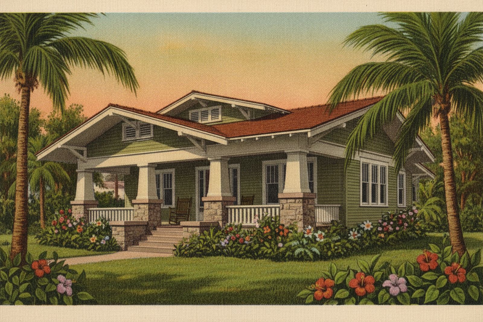
Historic Kenwood is the city’s bungalow district: a dense grid of 1910s–1940s craftsman homes on walkable blocks immediately west of downtown, between the Interstate and 34th Street. It was listed on the National Register of Historic Places on August 4, 2003 as the Kenwood Historic District, with 2,203 contributing buildings across roughly 375 acres (NRHP ref. #03000729, accessed July 2026). Bungalows make up more than half of those homes (NRHP, accessed July 2026) — the neighborhood association calls it one of the largest concentrations of bungalows in the southeast (Historic Kenwood Neighborhood Association, accessed July 2026) — and the deep porches, low eaves, and tapered columns are the neighborhood’s signature, not a coincidence of a few good blocks.
What the listing photos don’t tell you comes in two parts. First, Kenwood sits inland — it has none of the open-bay or bayou frontage that sets the waterfront districts’ flood ratings, which gives it a genuinely different flood posture, though not a free pass, and I’ll be honest about that below. Second, “historic” here comes in two layers, and only one of them actually governs what you can do to the house — worth understanding before you fall for a place and start planning changes.
The texture is porches and street trees. Homes face the sidewalk, the blocks are square and flat, and the Grand Central district runs along the neighborhood’s southern edge (NRHP, accessed July 2026) — the Central Avenue corridor of shops, restaurants, and streetcar-era storefronts that puts Kenwood a short walk or a shorter bike ride from downtown proper. This is a lived-in, restore-it-yourself kind of place: the homes were built largely between 1912 and 1945 (NRHP, accessed July 2026), which means century-old systems come with the century-old charm. The wiring, the plumbing, the roof age, and the permit history all belong on the inspection checklist here — the same way the elevation certificate belongs on it out on the water.
Two decades into the National Register listing, Kenwood has built a real restoration culture: the neighborhood is known for hands-on rehab and sympathetic renovation of its bungalow stock, and its preservation-minded owners treat the architecture as the whole point (Historic Kenwood Neighborhood Association, accessed July 2026). But it pays to be precise about what “protected” means, because buyers routinely conflate two different things:
Some Kenwood blocks additionally sit under that local overlay and some don’t — which makes “is this specific house in a local historic district?” a real, answerable question I check per address before anyone plans a renovation, rather than something you can read off the neighborhood name (Historic Kenwood Neighborhood Association; City of St. Petersburg, accessed July 2026).
No — and I’d rather say that plainly than sell you the mirror image of the waterfront pitch. Kenwood’s inland position, back from the bay and the bayou, does mean much of the neighborhood reads outside the high-risk flood zones, and that is a real advantage in both premiums and peace of mind. But rain-driven flooding doesn’t need a coastline, drainage varies street to street, and the 2024 storm season was a reminder that inland blocks can still take on water. So the rule here is the same rule as everywhere else in this city, just with a friendlier starting point: every address gets read per-listing on the county flood map — the flood layer and any existing elevation certificate are both free and public — before I’ll form a view on it (Pinellas County Flood Map Service, accessed July 2026). The flood box below is where that read lives for any specific house.
The honest answer renders from data, not from a chapter that quietly goes stale: the stat band at the top of this page computes from our MLS pipeline and refreshes continuously — the numbers that would otherwise date this page live there, and if the band shows nothing yet, the pipeline simply hasn’t connected, and we’d rather show you nothing than a made-up figure. What I can tell you without a number is that Kenwood’s value story is bound up in its bungalows — condition, surviving original detail, and how sympathetically a house has been restored move a price here as much as square footage does. For the deal-level version — what a specific bungalow, block, and flood story should actually cost — that’s a conversation, and it’s free.
These bands compute from closed sales in the Stellar MLS feed (trailing 12 months) the moment the data feed connects — honest ranges, never AVM point estimates, never made-up numbers. Until then this box stays empty on purpose: we render real data or nothing.
Kenwood sits inland, west of downtown and away from the open-bay and bayou frontage that drives the waterfront districts' AE ratings — so much of the neighborhood reads outside the high-risk zones. Inland is a different posture, though, not immunity: rain-driven flooding doesn't need a coastline, and drainage varies street to street. Every address here still gets read per-listing on the county flood map (free, public), where existing elevation certificates are published too — never assumed from the neighborhood name.
Flood data source: FEMA flood maps via the Pinellas County Flood Map Service (not MLS data) · verified July 8, 2026
Read the flood & insurance guide →Live Historic Kenwood inventory renders here — straight from our copy of the Stellar MLS feed with full attribution, the moment the data feed connects. Until then: open the live search →
Zone by zone, carrier by carrier — what coverage really costs after the 2024 storms, and why an inland address still gets read per-listing.
Read onWhere Kenwood sits in the city's larger map — organized by what each place is actually good at.
Read onThe city's other great historic grid, on the bay side — brick streets, tighter inventory, a waterfront flood story.
Read onTalk to the broker who wrote the chapter. Fifteen minutes, free, and the messy version of your situation is the right version to bring.
A free 30-minute consult, straight onto Serge’s calendar. Prefer to write first? use the contact page →