Flood zones & insurance in St. Pete
The new-construction angle below is really a flood-code story — here's the whole zone-by-zone, carrier-by-carrier version after the 2024 storms.
Read onThe neighborhoods · Chapter 03
Condo towers and townhomes over the waterfront parks, the Pier, and Central Avenue — the walk-to-everything grid, and block for block the city's newest construction.
live data connecting
This band shows real market numbers — median sale price, days on market, active inventory — computed over Everlane’s own copy of the Stellar MLS data, with the computation time shown. Live numbers publish here as soon as the data feed is connected; until then we show you nothing rather than a made-up number.
Based on information from Stellar MLS® for the period shown with each statistic — median sale price and days on market: trailing 90 days; active listings: as of the computation time shown; price per square foot: trailing 12 months.
Built by Selenko, Everlane’s own studio automation — see how this site runs →
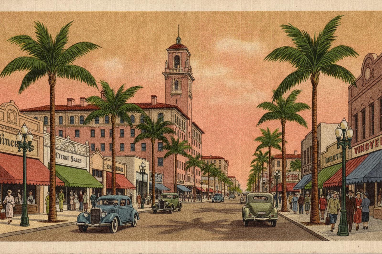
Downtown St. Pete is the walk-to-everything answer: condo towers and townhomes stacked over the city’s waterfront parks, the St. Pete Pier, and the restaurant blocks of Central Avenue. This is where the city keeps its density — a grid you can live in without touching a car for days at a stretch, the open bay on one side and Central’s shops and galleries running west from it.
It is also, block for block, the city’s newest construction — and after the 2024 storms, that is not a footnote. The towers and townhome rows going up here are built to the current flood code; the ground-level home from the 1950s a few blocks over was not, and the flood-and-insurance math between the two is the difference this chapter keeps coming back to. The EDGE District, the arts-and-entertainment stretch along Central Avenue, anchors the western end of it.
The eastern edge of downtown is a near-continuous chain of public waterfront parks — Vinoy Park, North and South Straub Park, Spa Beach, Demens Landing — running along the bay (St. Petersburg Parks & Recreation, accessed July 2026). The city has long called this one of the largest downtown waterfront park systems in North America, citing roughly seven miles of it; that ranking is repeated far more than it is proven — PolitiFact examined the “third-largest” claim and found no way to verify the comparison (PolitiFact, accessed July 2026) — but the parks themselves are real, continuous, and public.
At the center of that edge is the St. Pete Pier, a 26-acre district of parks, a marketplace, restaurants, a fishing dock, a splash pad, and public art — Janet Echelman’s Bending Arc over the lawn — that opened in 2020 (St. Pete Pier official site; St. Pete Rising, accessed July 2026). Walk inland from the water and Central Avenue is the spine: restaurants, bars, galleries, and shops running west through downtown. Most of the housing stock here is vertical or attached — condo towers close to the water, townhome rows and mid-rises filling in behind them — which is a different kind of ownership than a single-family lot, closer systems and an association in the mix.
The EDGE District is downtown’s arts-and-entertainment sub-district. It runs along Central Avenue between 9th Street (Dr. Martin Luther King Jr. Street) and 16th Street, reaching out to First Avenue North and First Avenue South (the EDGE District, accessed July 2026). It was designated a Florida Main Street in 2014 (Florida Department of State, accessed July 2026), and today it is a walkable stretch of locally-owned restaurants, bars, galleries, and shops — where a decade ago much of it was boarded storefronts. If you buy a townhome or a condo on the western side of downtown, this is the block you walk out onto.
The honest answer renders from data, not from a guide that goes stale: the stat band on this page computes from our MLS pipeline (median sale price, days on market, active inventory) and refreshes continuously — if it shows no numbers yet, the pipeline hasn’t connected, and we’d rather show you nothing than a made-up figure. Downtown adds one twist worth naming out loud: a new condo tower, a pre-war building, and a brand-new townhome row can sit within blocks of each other and price on completely different logic, so a single neighborhood “average” hides more than it tells. For the deal-level version — what a specific building, unit, and flood story should cost — that’s a conversation, and it’s free.
New construction changes the starting line. In the Special Flood Hazard Area, Pinellas County requires new or substantially-improved buildings to be built at least one foot above the base flood elevation — the design flood elevation, BFE plus a foot of freeboard (Pinellas County, accessed July 2026). A tower or townhome finished in the last few years was built to that standard, living space elevated and engineered to current code. A ground-level home from the 1950s was not.
That gap is most of the insurance conversation. Under FEMA’s current pricing, the height of the lowest floor relative to the flood elevation is one of the largest levers on the premium — so an elevated new build and a low, older house can price worlds apart even a block apart. It is also why, after 2024, “is this structure already built (or rebuilt) to code?” is a due-diligence question we ask the permit file, not a vibe we take from the listing. The flood-and-insurance guide below is the full version of this math.
None of that retires the per-address homework. Flood zones downtown run block to block — the open-bay edge and low-lying blocks carry AE ratings where coverage is required and priced to the elevation certificate, while blocks set back from the water can sit in the lower-risk X zone. We read every address on the county flood map, and pull any elevation certificate already on file, before anyone falls in love (Pinellas County Flood Map Service, accessed July 2026).
These bands compute from closed sales in the Stellar MLS feed (trailing 12 months) the moment the data feed connects — honest ranges, never AVM point estimates, never made-up numbers. Until then this box stays empty on purpose: we render real data or nothing.
Flood zones downtown run block to block: the open-bay edge and low-lying blocks carry AE ratings where coverage is required and priced to the elevation certificate, while blocks set back from the water can sit in the lower-risk X zone. The wrinkle here is new construction — a building finished to current code sits at least a foot above the base flood elevation (Pinellas County's design-flood-elevation rule), a materially different flood-and-insurance posture than a ground-level 1950s home a block away. Always read per-address on the county flood map, never assumed; the county publishes both the flood layer and existing elevation certificates free.
Flood data source: FEMA flood maps via the Pinellas County Flood Map Service (not MLS data) · verified July 8, 2026
Read the flood & insurance guide →Live Downtown / EDGE District inventory renders here — straight from our copy of the Stellar MLS feed with full attribution, the moment the data feed connects. Until then: open the live search →
The new-construction angle below is really a flood-code story — here's the whole zone-by-zone, carrier-by-carrier version after the 2024 storms.
Read onWhere Downtown and the EDGE District sit in the city's larger map — organized by what each place is actually good at.
Read onThe opposite trade from new construction: a 1910s–1920s historic grid a few blocks north, protected fabric and pre-war systems.
Read onTalk to the broker who wrote the chapter. Fifteen minutes, free, and the messy version of your situation is the right version to bring.
A free 30-minute consult, straight onto Serge’s calendar. Prefer to write first? use the contact page →